Located on the lower Hangang River, Eunpyeong was a major military strategic point bordered by the Goguryeo, Baekje, and Silla Kingdoms. During the Baekje period, it belonged to Wiryeseong, while in the Silla period it belonged to Sinju. Then, during the Unified Silla period, it was affiliated with Hansanju, while in 757 (the 16th year of King Gyeongdeok’s reign) it became Hanju.
The name “Hanyanggun” was called “Yangju” in the Goryeo period. In 1067 (the 21st year of the reign of King Munjong), the regional status was raised as Nam-gyeong, which was one of three small gyeong (capital) along with Seo-gyeong (present-day Pyeongyang) and Dong-gyeong (present-day Gyeongju). Then in 1308 (the 34th year of the reign of King Chungnyeol) it was renamed as Hanyangbu. According to the agriculture first policy, as the area was cultivated farmland, its productivity was improved and agricultural products were transported via the Hangang River through Eunpyeong as a main point to the capital (Gaegyeong at that time).
In 1394 (the 3rd year of the reign of King Taejo), the capital was relocated to Hanyangbu, which was then renamed as Hanseongbu. It consisted of numerous sub-administrative units including five bu (districts: east, west, south, and north) and 52 bang (neighborhoods including Yeoneun-bang and Sanpyeong-bang in the north, the current Eunpyeong area). The name “Eunpyeong” is derived from “eun” in Yeoneun-bang and “pyeong” in Sangpyeong-bang. It covered about the area of 4km outside Seodaemun Gate in the Joseon period.
Japanese Occupation Period
and After the 1945 Liberation of Korea
After Japan’s annexation of Korea in 1910, and the reorganization of the country’s administrative districts, Hanseongbu became Gyeongseongbu, which comprised five bu, 35 bang, and 8 myeon (township). In 1913 each province and its jurisdiction and the names of the bu (department) and gun (county) were decided, and in April 1914 Eunpyeong-myeon (control over 36 neighborhoods - dong and ri) was established in the area of Yeoneun-bang and Sanpyeong-bang. Thus, Eunpyeong-myeon was affiliated to Goyang-gun (county) in Gyeonggi-do Province according to the reorganization of administrative districts in 1913, then to Seoul City again in August 1949.
Following the reorganization of the administrative districts, Gupabal-ri and Jingwannae/woe-ri in Sindo-myeon, Goyang-gun, Gyeonggi-do were incorporated into Seodaemun-gu, Seoul, which became the current Eunpyeong district. Eunpyeong-gu (consisting of 15 dong) was separated from Seodaemun-gu in 1979, and after few more mergers of administrative districts, the jurisdiction of Eunpyeong-gu was determined to include 11 legal dong and 16 administrative dong in June 2008, and this system remains in place today. Moreover, along with the housing site preparation project conducted between 1966 and 1978, the area was transformed from farmland into a residential area. The Gijachon residential complex was established between 1969 and 1971, and the Hanyang housing area between 1974 and 1978, with numerous row houses and multiplex houses being built in the area.
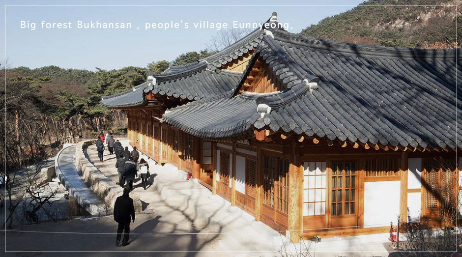
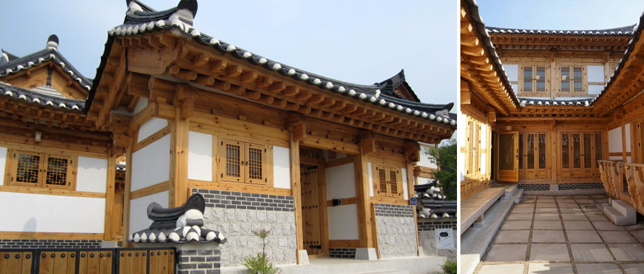
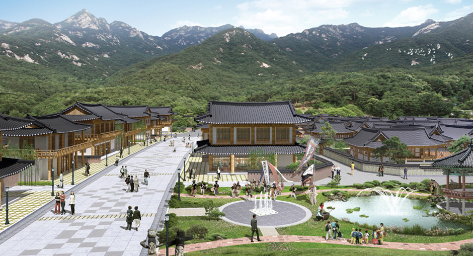
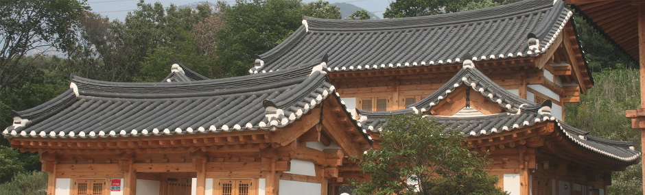
The regulation on restricted development zones, which was preserved for some thirty years, was eased in October 2002 in order to achieve balanced regional development and improve the residential environment. A large-scale development project including the construction of housing was carried out until October 2011, and there are plans to create a residential atmosphere where tradition and modernity coexist by establishing a hanok village in the area.